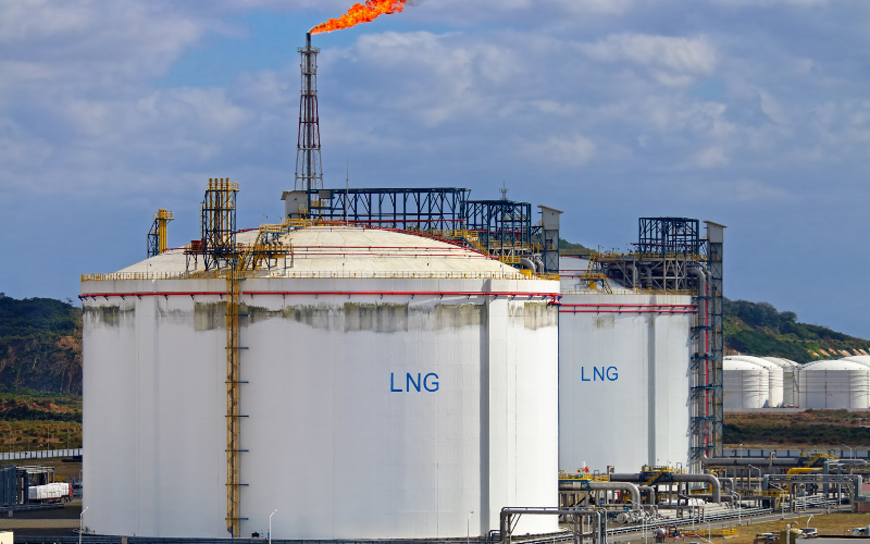
The Mississippi River Chemical Corridor produces one-fifth of
the United States petrochemicals and transformed one of the
poorest, slowest-growing sections of Louisiana into the working class
communities.
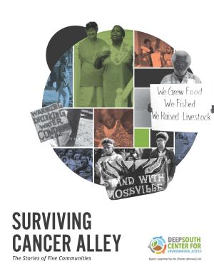
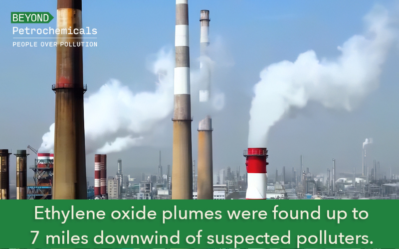
Yet this growth has not come without a cost: the narrow corridor absorbs more toxic substances annually than most entire states. An 85-mile stretch along the corridor, infamously known as “Cancer Alley,” is home to more than 150 heavy industrial facilities, and the air, water, and soil along this corridor are so full of carcinogens and mutagens that it has been described as a “massive human experiment.” According to the Centers for Disease Control, Louisiana has consistently ranked among the states with the highest rates of cancer. Geographic Information System (GIS) mapping by the Deep South Center for Environmental Justice not only shows a correlation between industrial pollution and race in nine Louisiana parishes along the Corridor but also finds that pollution sources increase as the population of African Americans increases. (Read DSCEJ Surviving Cancer Alley Report)

